


S2S Gold Rush – Nelson
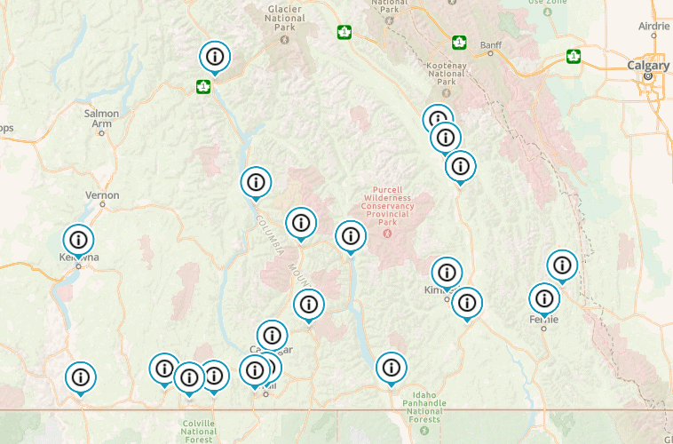
the Sea to Sky is coming to Nelson!! Thursday ride from Sunshine Coast to Osoyoos (possibly through WA), stay at Osoyoos Hotel & Suites.Friday & Saturday stay at Baker Street Inn in Nelson.Sunday stay at Premier Best Western in Vernon.Monday