
Weekend #4Registration closed
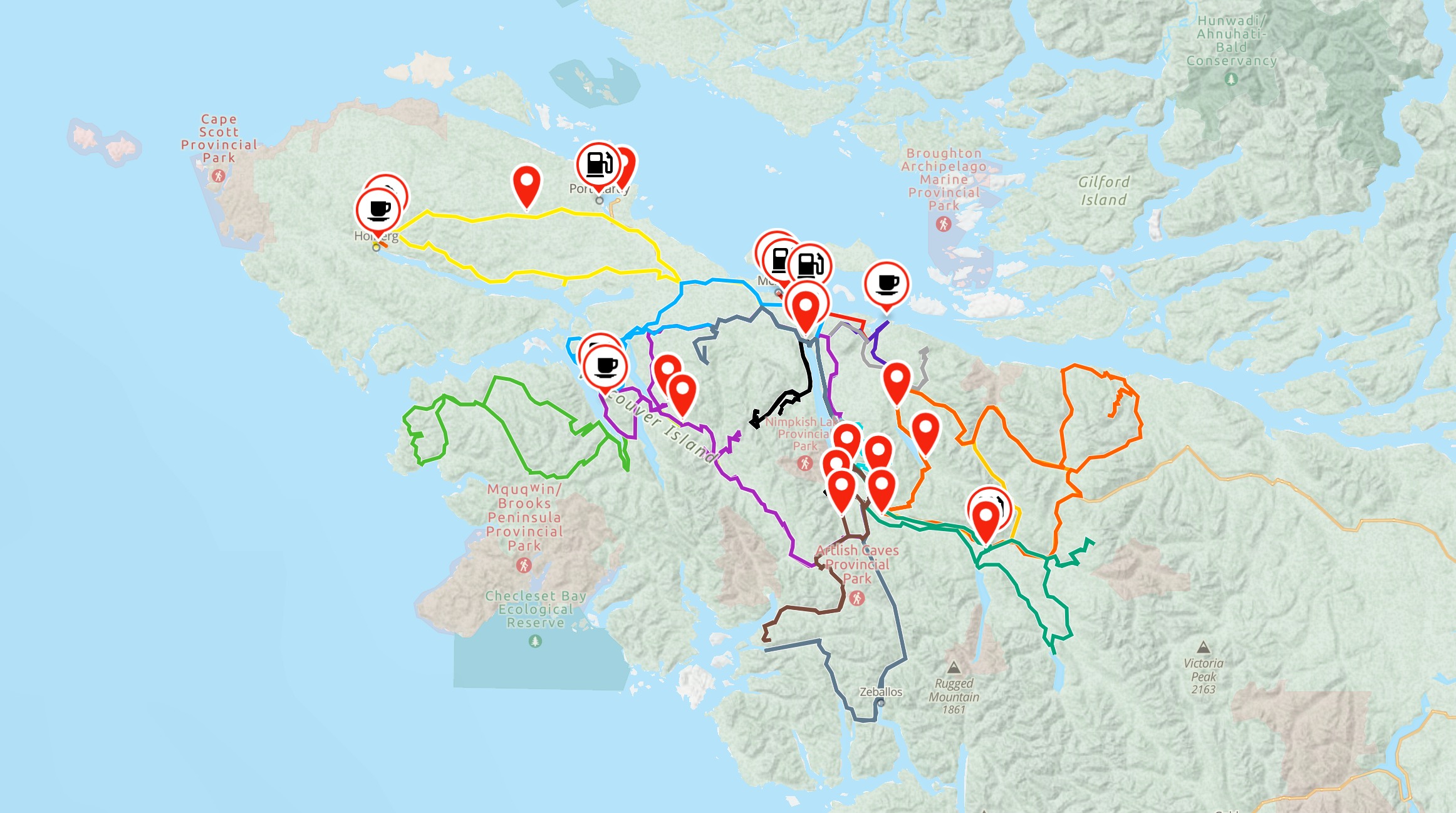


GLFY 2026 Routes
I am super proud to support my good friend Chris Bragg and the Get Lost...Find Yourself Foundation for this year's event once again. So glad to support such a great men's mental health initiative. Every dollar the weekend raises goes to HeadsUpGuys.
The routes
Add your email and I will send the pack over.
You're in! Click the button to download the routes or check your inbox for the link.
GPX is 3 MB, KML is 1 MB.
Windy Waters, Nimpkish Valley BC
Two weekends, same trail network
GLFY runs twice in 2026. Same campground, same terrain, two different groups of riders. The route pack covers both.
Weekend #5Registration open
3 to 6 September 2026
Registration closes 23 August at noon.
The route network
Tickets and event questions go through the foundation at getlostfindyourself.com
Why this one matters
We are proud partners
Chris Bragg, aka Critter Moto, started this in 2022 after surviving a suicide attempt. He wanted a place where men could talk without anyone making it a whole thing. It became a campout. Then it became a foundation. In 2026 it runs two weekends plus a mini event, and the 2024 edition sold out in under 24 hours.
Every dollar goes to HeadsUpGuys, the UBC men's mental health program.
We mapped the routes for the 2024 and 2025 editions and we are doing it again this year. We do it because it works. We do it because we believe in the cause. You ride all day, you eat, you sit at a fire and somewhere around 11pm somebody says the thing they have been carrying for a year. That is the whole design.
Follow Chris at crittermoto.com, on YouTube, Instagram and Patreon. The foundation lives at getlostfindyourself.com.
Get Lost...Find Yourself is produced by the Get Lost...Find Yourself Foundation. I Think We Missed a Turn is a sponsor and route partner.
Before you leave home
Getting them onto your bike
Three things worth knowing before you ride out.
Download the maps for offline use
There is no cell service through most of the Nimpkish Valley. If your app needs a signal to render, it is a paperweight out there.
GPX for Gaia and Garmin
KML if you want to eyeball the whole network in Google Earth first.
Battery
A full day on a Red route will flatten a phone. Run a charger off the bike or carry a bank.
While you are here
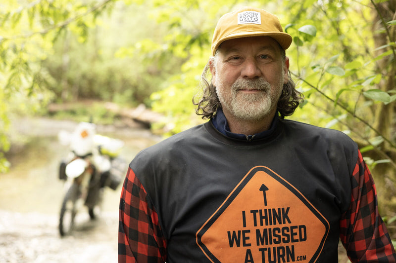
I am Craig. I map routes out of Nelson BC, and right now I am partway through a solo remap of the Trans Canada Adventure Trail. 40,000 km from Grant Bay on Vancouver Island to St. John's Newfoundland.
Grant Bay is the same corner of the island you are about to ride. Good country.
Ways to Sponsor Craig
This one funds the TCAT remap, not the event.
Support Get Lost...Find Yourself directly HERE.
Questions
Do I need a ticket to download these?
No. The routes are free to anyone. Ride them any weekend of the year.
Are these the official event routes?
Yes. We build them with the foundation and they are what is handed out at camp.
When were these last ridden?
If a route is stale I say so in the file notes. Logging activity changes this network fast.
Something is wrong with a route. Who do I tell?
Me. Reply to the email that carries the pack and I will fix the file for everyone. Or post it in Adventure Routes Canada on Facebook and the whole group benefits.
Can I share the files?
Share the page, not the file. Keeps the versions straight and stops people riding a route that got corrected in July.