


Rossland Beer Company
An award-winning nano-brewery tucked away in the Southwest kootenays. While Ryan Arnaud and Petri Raito ran a local U-Brew company called Trail Brewing they realized there was great demand for craft beer in their area. So the two best friends purchased a small nanobrewery system from a brewery in North
S2S Gold Rush – Nelson
the Sea to Sky is coming to Nelson!! Thursday ride from Sunshine Coast to Osoyoos (possibly through WA), stay at Osoyoos Hotel & Suites.Friday &

Kimberly
Welcome to Kimberly! A little bit of Bavaria tucked into the mountains of BC. There is so much amazing riding here to be had, both

West Kootenays
So much amazingness in the West Kootenays to explore! Smooth, twisty roads and stellar backcounty. It’s all here to download in one PACK. Get the

Creston Valley
Welcome to the Creston Valley! There is so much amazing riding here to be had, both on and off-road. Here’s a selection of things you

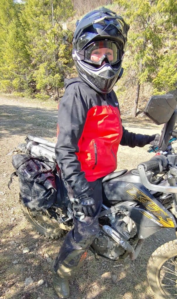
Ride Report – The Invermere Excursion
With the last week of August upon us, the summer was quickly disappearing. After almost 4 months, MissVelocity’s broken leg was finally strong enough to
Rocky Mtn Network
What’s the Rocky Mtn Network? Well, its the corridor of awesomeness that runs North/South along and near the Canadian Rockies. And boy is it a
Is there anywhere to get information on the road conditions for the Old Cascade Highway?