


Granby / Whatshan / Shelter Bay Route
Want a way to get from Grand Forks to the Shelter Bay ferry avoiding all that pavement through Nakusp? Have we got the answer for

Ride Report – Adventurey Muppets’ Snowy Ride
Guest Ride Report Three muppets rolled out of Calgary in the middle of April headed west in search of adventure. This is their story!!! There’s

Castlegar
Welcome to the Castlegar! There is so much amazing riding here to be had, both on and off-road. Here’s a selection of things you can

Trout Lake Loop
Discover the Kootenays on a breathtakingly picturesque circle motorcycle tour through the heart of the Selkirks, a 390-kilometre loop that starts and ends in Nelson,
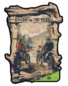
Get Lost, Find Yourself – 2025
“Get Lost…Find Yourself” Adventure and Dualsport Motorcycle camping weekend. Welcome to the Third Annual “Get Lost…Find Yourself” Adventure & Dualsport Motorcycle campout, taking place on beautiful

Koch Creek Pass
The trip up over Koch Creek Pass is a local classic. Can be used as as a fun shortcut between Fauquier Ferry and Highway 6
I’ve lived in BC my entire life. I’ve learned more from your maps than by dirt biking for the last 20 years. Thanks!!
Glad you found it all usefull! There’s soooooo much out there….